Abandoned Tunnel Rehabilitation

Mapping of an ancient railroad tunnel, partially flooded and collapsed, supporting its restoration project

Background

The old 450-meter-long stone-carved Lezama tunnel is located in the north side of Bilbao. It was part of the discontinued railroad line connecting the Basque capital with Lezama town, passing across the beautiful hills, covered by forest and green meadows. Out of use since 1970s, it is now partially flooded and has several collapses, making it too risky to enter.

There was a real need to inspect and digitize it, since the regional government had approved a plan to restore the old line and convert it into a green track for pedestrians and bikers, connecting again the 2 cities.

The digitalization process had 2 main goals:

  1. Evaluate overall tunnel condition: cracks, collapses and geological discontinuities, to be performed by geologists.
  2. Produce a 3D model to estimate cross-sections and volume of concrete for it whole restoration.

the problem

Although a group of intrepid speleologists had attempted to cross the tunnel for pleasure a few years ago, encountering rocks falling from the ceiling and major collapsed areas, sending people to scan the tunnel was out of the question.

Traditional ground robots, used in other unmanned inspections, lack the capacity to move across deep water and surpass obstacles up to 2m high, leaving aerial robots -drones- as the only alternative.

Nevetheless, piloted drones were not an option as radio connection would be lost due to several shadow areas along the path, caused by the long distance and also stacks of fallen rock.

Therefore, an autonomous drone was the only solution that could ensure a safe and complete mapping of the tunnel.

The Solution

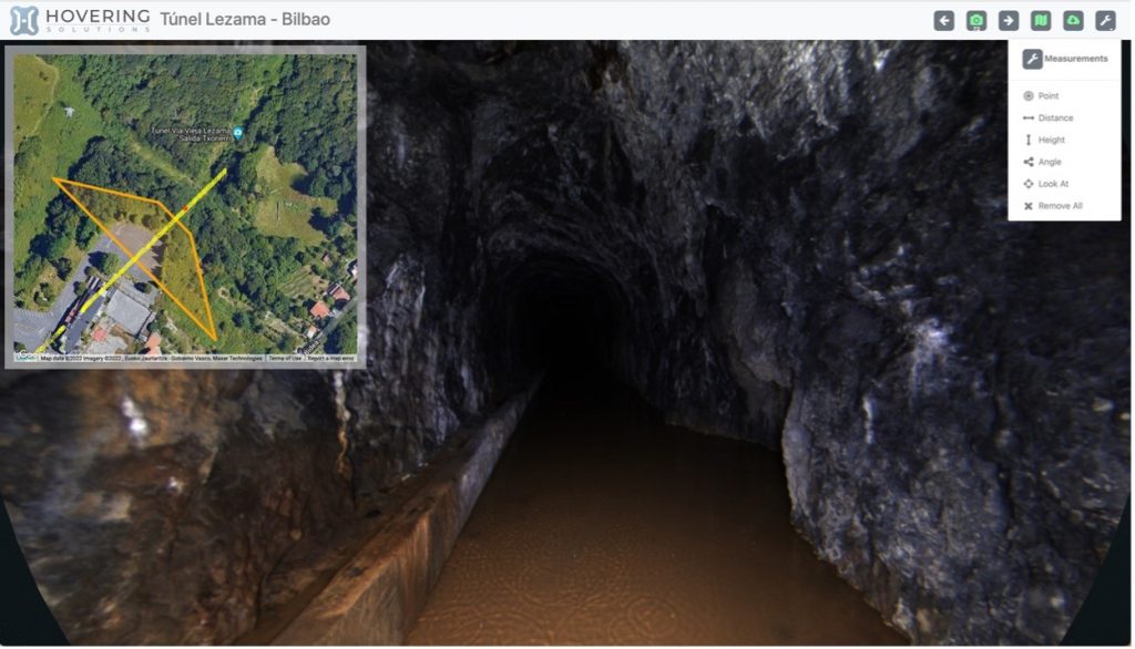
The local entity, Diputación Foral de Bizkaia, decided to use Hovering Solution´s autonomous aerial robot, one of the 3 companies in the world offering autonomous drone capabilities in GPS-denied areas.

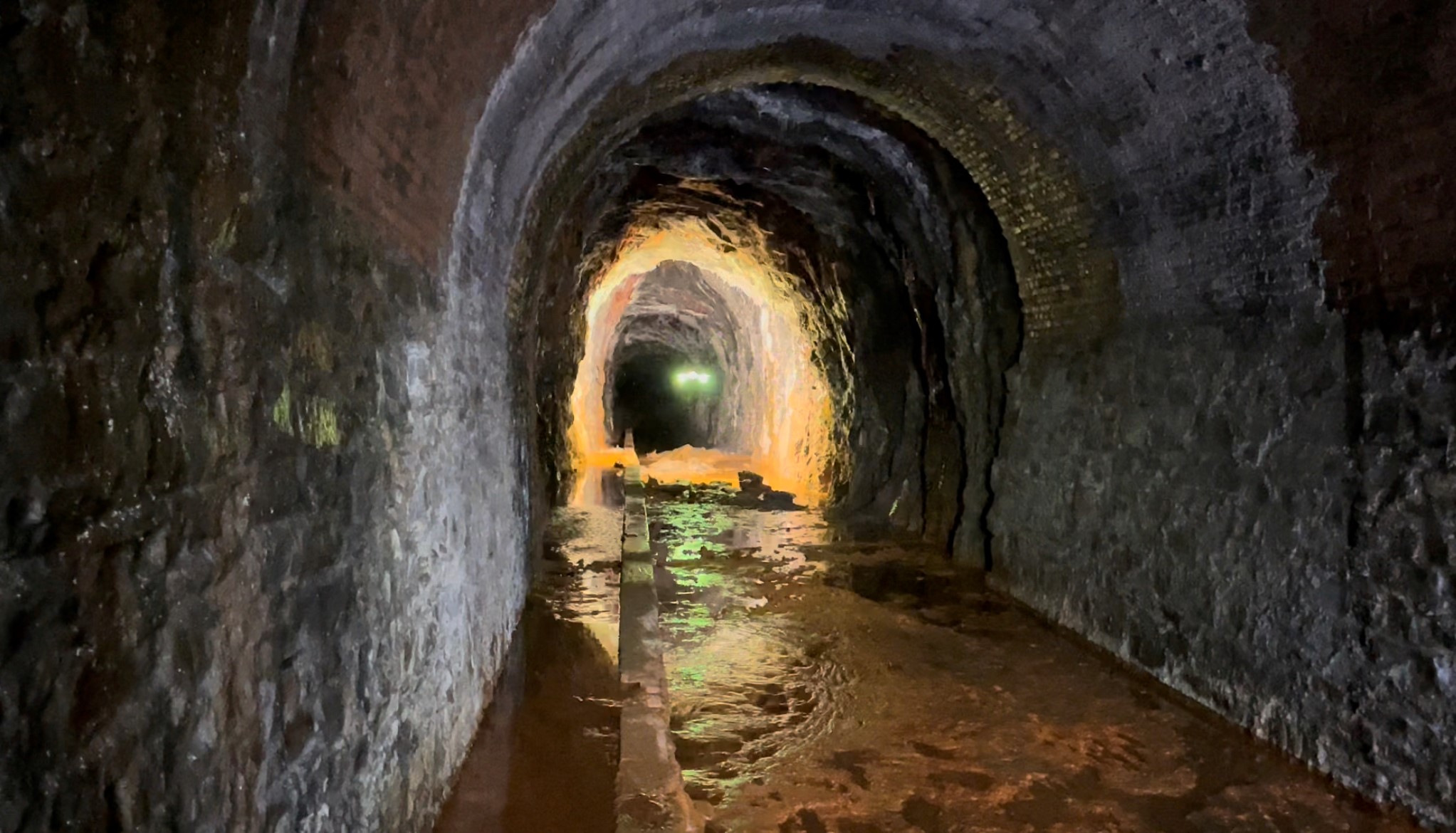
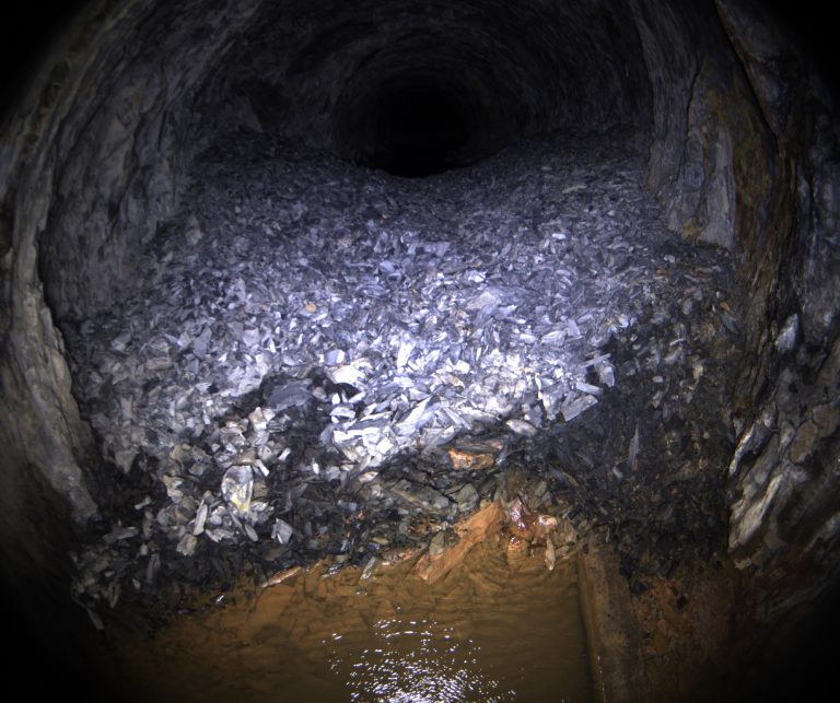
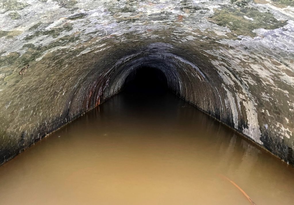
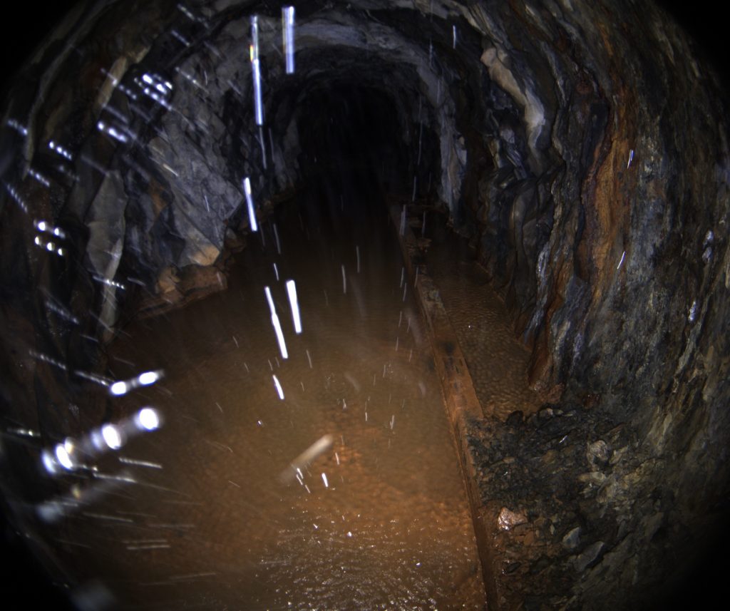
The advantage of using autonomous drones for these types of inspections is that they can perform missions without a pilot, external communication with any device, and also in absence of GPS signal or ambience light. That is, the autonomous capacity is embedded within the aircraft itself, providing a competitive advantage as it is able to sort out flooded areas, obstacles and irregularities along flight path.

The main technical difficulty resides in the need to replace the valuable information provided by satellites, which is used by conventional drones to determine position and speed at any time with high accuracy.

By contrast, Hovering Solution´s technology has developed a proprietary hardware and software. It relies on multiple on-board sensors such as LIDAR[1], ultra-sound, infrared, image and inertial units (IMU[2]), redundant and thermically calibrated. A high speed processor is then capable to read and correlate all the information in real time, and provide an estimation of speed and position; that is, where the drone is and how fast it is moving. The presence of magnetic fields cause by minerals and metals represents and additional challenge and do not allow the use electric compasses, otherwise valuable in outdoor flights.

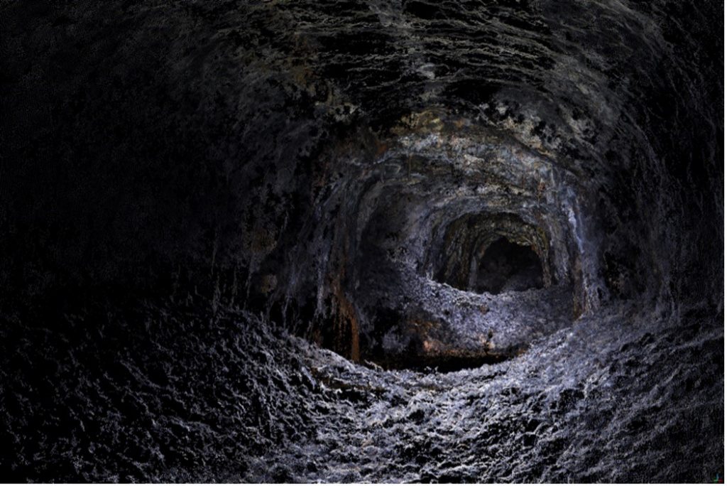
The flights are carried out without any previous map or knowledge of the infrastructure. The robot generates a map as it flies, which serves for navigation and is also the base for the 3D model delivered to client after the flight.

The aircraft can carry two types of missions: one-way and round-trip. One-way flights are more efficient, as the whole battery life is used to capture data, but it requires two access points to launch and recover the unit. Round-trips flights are suited for missions where only one access is open, or to cover very long distances accessing from both sides, flying up to the center, and return. The aircraft used in Lezama has an autonomy of 29 minutes, enough to digitize up to a few kilometers in one single flight.

Hovering Solutions also has a larger version, with a range of 7 kilometers, an alleged world record on underground flight, which was presented together with Iberdrola in the Hydro 2022 congress in Strasbourg, France, on April 2022[3]. On the other hand, Hovering Solutions is also working in a smaller version of the robot, aimed to fly in small-diameter pipes. This compact drone will have just 22cm between rotors and will be ready to fly along 80-120cm pipes by the second half of 2023.

Results

The outcome exceeded that expected from alternatives, and it should be labelled as a digitalization tool rather than an inspection method. It includes:

  • Geo-referenced colored point clouds: they provide tridimensional data in absolute coordinates. Each of the millions of its points has a latitude, longitude and altitude units, in a similar way to other topographic data gathered by laser stations. Such information is relevant to estimate cross-sections, volumes, deformations and fluid dynamic calculations.
  • High-resolution panoramic images: also georeferenced, they provide critical information not available in the point-cloud, which allows for a condition assessment of the surface and perform geological studies or identify damages in concrete or steel. Images are both simple and panoramic (180º), the latter being more useful to perform an immersive inspection in the visualization tool, similar to walking across the tunnel as in Google Street View.


Data format is standard and can be exported and accessed with standard point cloud software typically used by surveyors and engineers. Images have as well a standard format and can be viewed in any laptop or tablet.

Hovering Solutions also provides an online visualization platform displaying both images and point clouds along with their absolute position on the map. This tool can be accessed from any device or operating system, and is the most agile way to visualize the data without requiring specific software to open the clumsy point cloud files (typically hundreds of MB-heavy).

As a result from the Lezama tunnel scan, a 34 million points colored point cloud was delivered to the Diputación Foral de Bizkaia, along with 590 panoramic images, taken every meter. The whole 3D model allowed to understand the status of the every square-cm of the tunnel, and obtain a geometric model of the same, which played a critical role in the restoration project.

Contact
Us

Open chat
Need help?
Hello! Can we help you?